Monday, October 24, 2011

Shenandoah Homecoming

As of today I'm about 2/3s through Shenandoah NP. Had a few beautiful days of cool hiking weather. Some of the trail is very smooth (some not) and there aren't the big ups and downs of last week. So my mileage is up. Had a couple 20+ days in a row.
Being in the middle of the park, around Stony Man, Hawksbill, and Old Rag is like a homecoming for me. My brother and I used to hike these trails a lot back in the 70s.
But a wicked rain and hail storm blew in unexpectedly out of the west and chased me inside Skyland. Thank god for dryness.

Waynesboro nice.

Posting somewhat belatedly--no cell service. Made a town stop and took a zero day in Waynesboro, VA last Thursday. I was pleasantly surprised at the nice downtown area which seemed very hiker-friendly. There's a great outfitter (Rockfish Gap Outfitters) on US 250. Many thanks to Chuck and Ty for straightening out some gear problems.
I was also impressed with Stone Soup, a local bookstore/cafe. Plenty to eat around town and a really killer produce market. Ah, town...but this is about hiking.

Friday, October 21, 2011

Onward to Waynesboro

The section from the James River north to Waynesboro VA (78 mi) proved to be a lot wilder and more difficult than I expected. It included three big uphill climbs (approx 3000') in four days and passed through three Wilderness Areas including The Priest and Three Ridges.
I was able to increase my mileage to the high teens, even hitting 20 mi one day. But the warm weather took it out of me. Hydration was an issue and water sources still unreliable at times. Saw some absolutely beautiful country.
Unfortunately, this section ended like the last--in the rain. I was really grateful for a town stop in Waynesboro to regroup. And eat.

Friday, October 14, 2011

The James River


I finally reached the James River crossing by Thursday afternoon after much rain and a steep downhill. The James River footbridge is the longest pedestrian only bridge on the AT and spans almost 700 ft. across this beautiful gorge.
I was very grateful to find my truck waiting for me and planned to drive into Lynchburg to regroup at my aunt's house for a day. Of course, nothing ever goes according to plan. I'd left my lights on and run the truck battery down and with no cell service in the gorge, things didn't look very good. But I was able to get a jump start pretty quickly and head off to a much needed town break.

Rain Rain Rain


The first couple days heading out of Daleville this week were pretty good but I knew there was rain ahead. By Wednesday, steady mist had turned to heavy rains--2-3 inches--and made hiking especially difficult. The 17 mi I did Wed between Cove Mt. Shelter and Thunder Hill Shelter included 3000' of uphill and was very tough. Rains continued into Thursday soaking everything including me and my gear.
Ironically, we went from very dry conditions the week before--lots of dried up creek beds--to swollen, raging streams. Yesterday I had my first (unplanned) fording of a stream at Matt's Creek on the AT. If you look closely at the white blazes you can see that crossing this stream at the usual AT crossing would have been tricky at best. So I had to slosh through at another spot.

My Old Kentucky Friends

I really enjoy meeting some of the amazing fellow travelers on the AT. My first week out I was fortunate to hook up with these three hikers from Lexington KY. Dave, Brian, and Cisco have hiked the first 700 mi of the AT over several years in week long segments.
They graciously allowed me to tag along for the better part of the week since we were hiking at about the same pace. I appreciated their helpfulness and good-natured humor, especially since my first week out was a struggle.
And, as an example of the good will that often characterizes AT hikers, they left me one of their hiking poles in Catawba to replace the one I'd broken a few days earlier. God bless you guys and hope to see you again.

Trout Stream


Some pictures just say it all.

Tinker Cliffs


Another beautiful spot along the section of AT between Catawba and Daleville is Tinker Cliffs. I have two views of this long rock outcropping, one from above and one from the valley below. It was a gorgeous Fall day for a visit here during my 20 mi. slackpack.

Monday, October 10, 2011

McAfee Knob


Yesterday (Sunday), I slackpacked the 20 miles from Catawba to Daleville to make up for lost time. Over the stretch I passed Tinker Cliffs and McAfee Knob (show in this pic), purportedly one of the most photographed spots on the AT. You can see why. Especially on a crisp Fall morning like yesterday it's just spectacular.

Mt. Catawba, mile 700 on the AT

At the point where the AT crosses VA 311 just south of Catawba VA, is mile 700 of the trail. It's a popular trailhead for section hikers and day hikers alike. It's also about 1/3 of the total distance of the AT, a humbling fact indeed.

Sunday, October 9, 2011

The Home Place


At least there is a reward for all that hard work traversing Dragons Tooth and the rest of the AT. In the little town of Catawba VA sits The Home Place restaurant, in business since 1982. It's food is famous in hiker lore. Good southern cookin, all-you-can eat 3 meats and sides. Load her up!!
Best country food I've had since my grandma Eve.

The Dragon's Tooth

One of the more challenging spots on this section of AT is the climb over "Dragon's Tooth," a jagged granite outcropping. Much of the trail requires hand over hand climbing, scooting along on your butt, and use of the rebar ladders built into the rock. Not so much fun with a 40+ lb. pack on.

In fact, a hiker was severely injured last Sunday by a fall on Dragon's Tooth. There are some nice views indeed but I wonder if the danger is worth it. I was just glad to get down off this thing.

Saturday, October 8, 2011

Virginia Meadows


In between ridge walks are many beautiful isolated valleys, some wooded and others turned for agriculture. These shots were from Wednesday after the weather turned into Indian Summer.

Even though the field walks were hot, I found a sylvan spot beside Sinking Creek for lunch break. Cold stream water for burning feet and a quiet patch to sit. A rare pastoral moment on an otherwise taxing hike.

Owee!!

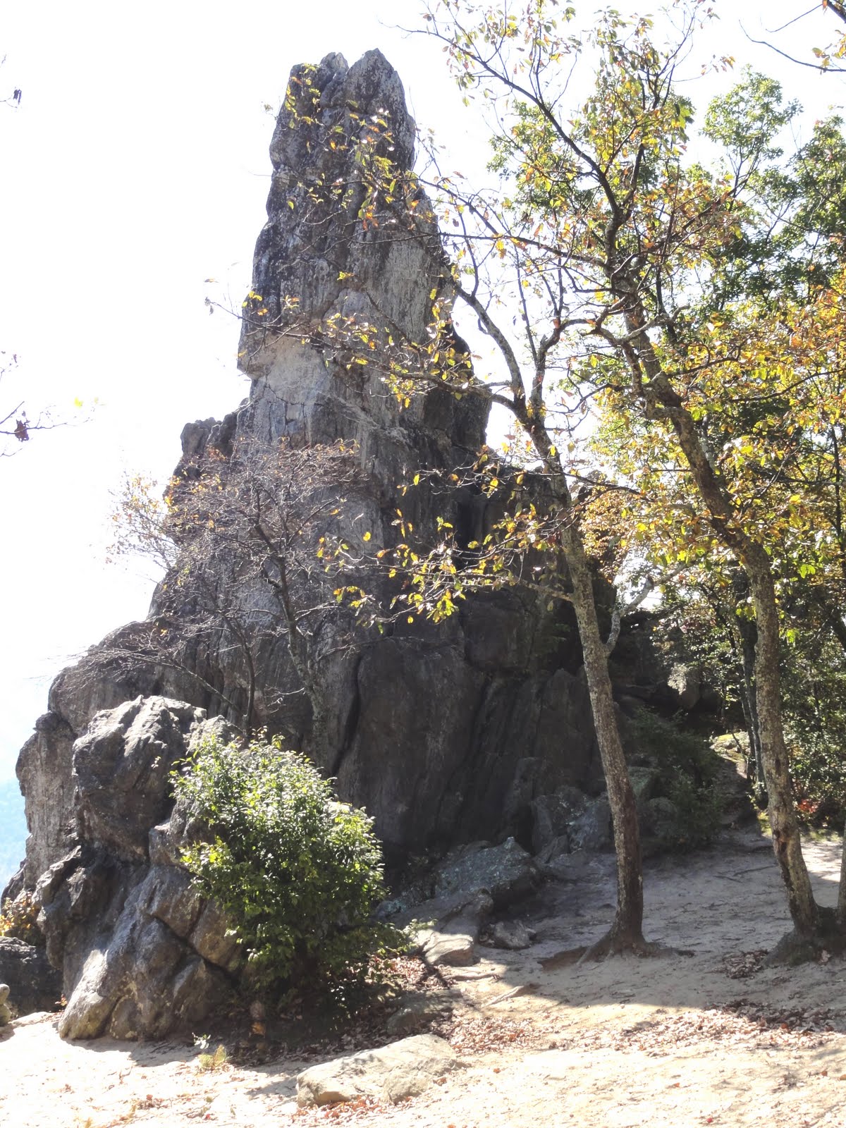
Well, did I mention that the trail is really rocky and treacherous in places?

Third day out, a wet and chilly morning. Hiking through a couple miles of trail composed of granite rocks 6"-2' in diameter. Rocks glistening florescent green with moss freshly dampened by rain. BOOM!
Fell on my ass even while taking great caution.
I knew it was pretty bad--snapped one of my hiking poles in half (and they can take some abuse). My right forearm and right thigh took most of the blow. I was just glad I didn't break my arm, hit my head, or tear my rainjacket.

I guess it's good I didn't know how bad it really was or I might not have hiked on another 3 days. When I got to a motel last night and could see myself in a mirror...YIKES! As you can see, my whole right forearm is a bruise. And I have a bruise 6" x 2" on my thigh. Hiking is not all fun and games.

Jefferson National Forest


The hike out from Pearisburg goes into the Jefferson National Forest, a beautiful and remote area along the Virginia/West Virginia border. There's a lot on long ridge walks punctuated by steep, U-shaped valleys. Some parts of the At are smooth and well-designed, while others are really rough. Many of the ridges are composed of broken rock granite spines that make hiking tedious at best. And these Roanoke ATC maintainers need to learn how to build a switchback :) My body has the scars and aches to prove it.

The weather after the first day was chilly and wet--highs only around 40º on the ridges. But by Wednesday the sun was out and temps were at least 20º higher. Water sources remain a problem in the south. Many days hiking were determined by available water, sometimes over 10 miles between.

Friday, October 7, 2011

This Is Why We Hike


Started out from Pearisburg VA on Sun 10/2 on a chilly afternoon. There had been snow flurries the previous night, but as you can see from this view the weather cleared beautifully. The first climb of 1800' didn't seem too bad (thank God) and the reward was a gorgeous 12-13 mile ridge walk along the Peters Mountain Wilderness.